STEP
INTO THE GED
Topic: Maps
SUPPORT ACTIVITIES IN IN THIS UNIT: Reading and Discussion Practice: Drawing
and using maps |
|||
|
Geography is the study of the earth. It gives information about the things that are important to people. Geography can study rivers, mountains, lakes, and oceans. It can also explain how people use these things. For example, some rivers are navigable. Navigable means boats can use these rivers. Other rivers are not navigable. Not navigable means too wild or not deep enough for boats. |
|
||
|
A
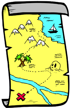
map is a common tool of geography. A map is a
very small, flat drawing of a country, state, or
city. A good map helps a person find directions like
north, south, east, and west. It can also help
someone determine distances. It may help a person
decide how to get from one city to another. Maps can
be very complicated or very simple.
|
 |
||
|
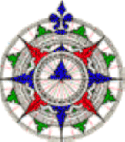
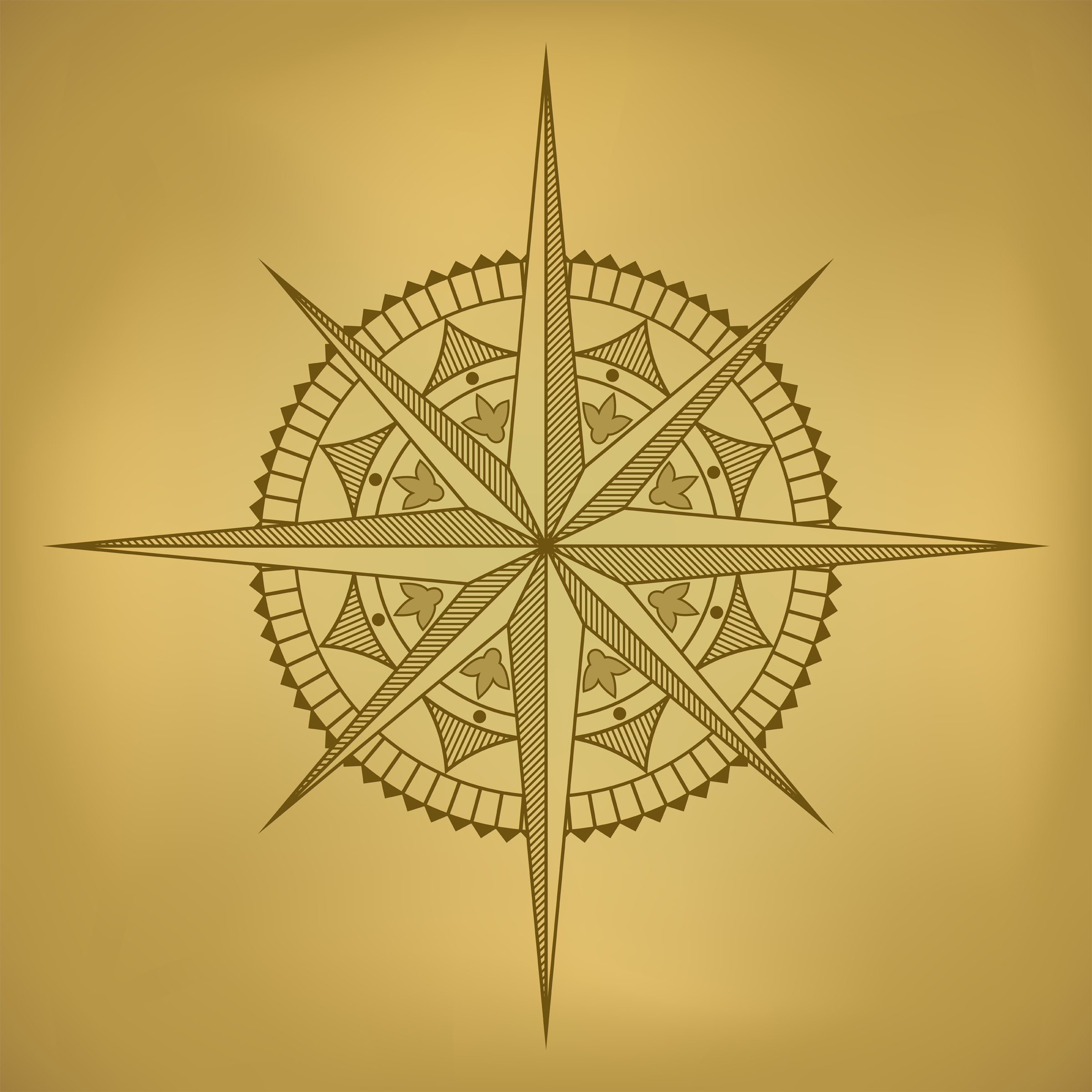
Most maps show direction (north, south, etc.) by using a compass rose. A compass rose may be simple or very complex. All of them indicate north on a map as up, south as down, east to the right, and west to the left.
|
|||
|
A map is much smaller than the real place it represents. Many maps are drawn to scale. Scale means that everything in the map is reduced by the same amount. If some things are reduced more than others, the map is not good. Look at the following pictures. There is a large picture and two smaller ones. Which of the small pictures looks more like the large one? That image is drawn to scale. Which one is skinnier or fatter or weird? That one is not drawn to scale. That image was changed more side to side than top to bottom. |
|||
|
|
|
|
|
|
On some maps, a divided bar shows the scale
of a map.
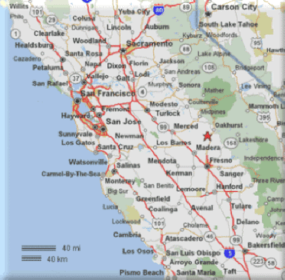
0 5 10 20 40 miles From the 0 to the 5 equals 5 miles on the map. From the 0 to the 10 equals 10 miles on the map. From the 0 to the 40 equals 40 miles on the map. You can measure the distance from one place to another on a map by comparing the distance to the scale. Luckily, many maps include the distances from one place to another, but when you need to, you can do your own measuring. You can use a piece of thin string to measure from one place to another, and then compare your string to the scale. Try to follow the roads with your string. Try this method on the following map. Remember, you will get an estimate, that is, a quick, but not exact number. Print the map first. Notice the scale shown on the map to determine 40 miles or 40 kilometers. For a very rough estimate, use a ruler to measure from place to place. Scale Activities on a California Road Map (On maps, a small dot next to a city's name indicates its location on the map. A star indicates the state capital.) 1. Using a piece of thin string, find the distance between Sacramento and Bakersville. 2. Using a piece of thin string, find the distance between Sacramento and Auburn. 3. Using a piece of thin string, find the distance between San Francisco and Fresno. |
|||
|
|
|||